


土地覆盖数据描述了土地表面不同类型的详细信息,对于环境监测、土地利用规划、生态保护、气候变化研究等领域具有广泛应用。一般来说,高精度的土地覆盖数据都较难获取,免费的土地覆盖数据最高也只是到10米的分辨率。但是最近国内某团队就制作了一份1米分辨率的全国土地覆盖数据,弥补了全国范围、极高分辨率土地覆盖数据集的空白。
该数据集共计150G,通过国内网络下载十分缓慢。这里,小编已经将数据下载好,在这里分享给大家。获取方式见文末。
数据详情
年份:2023
坐标系:WGS1984地理坐标系
格式:GeoTIFF数据
数据预览
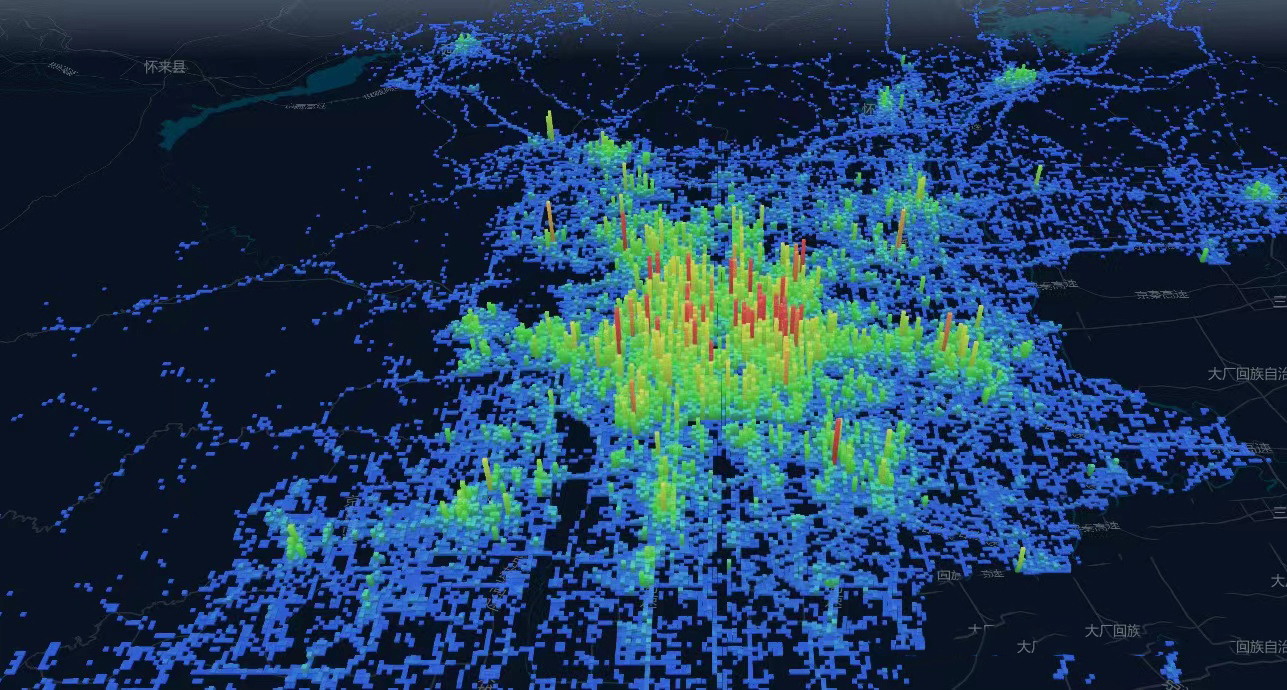
北京市1米分辨率土地覆盖数据
郑州市1米分辨率土地覆盖数据
数据来源
数据引用
数据的引用
Li, Z., He, W., Cheng, M., Hu, J., An X., Yan H., Yang, G., and Zhang, H.: SinoLC-1: the first 1-meter resolution national-scale land-cover map of China created with the deep learning framework and open-access data [Zenodo], https://doi.org/10.5281/zenodo.7707461, 2023.
文章的引用
Li, Z., He, W., Cheng, M., Hu, J., Yang, G., and Zhang, H.: SinoLC-1: the first 1-meter resolution national-scale land-cover map of China created with the deep learning framework and open-access data, Earth Syst. Sci. Data Discuss. [preprint], https://doi.org/10.5194/essd-2023-87, in review, 2023.
数据目录
数据是按省份进行打包的,每个压缩包里有该省份所有市的压缩包,请按需下载使用。


暂无评论内容